Historic city maps by era
Time changes the archive as much as place does. These pages group the maps by historical moment, so a harbor city in 1905 does not sit beside a colonial plan by accident.
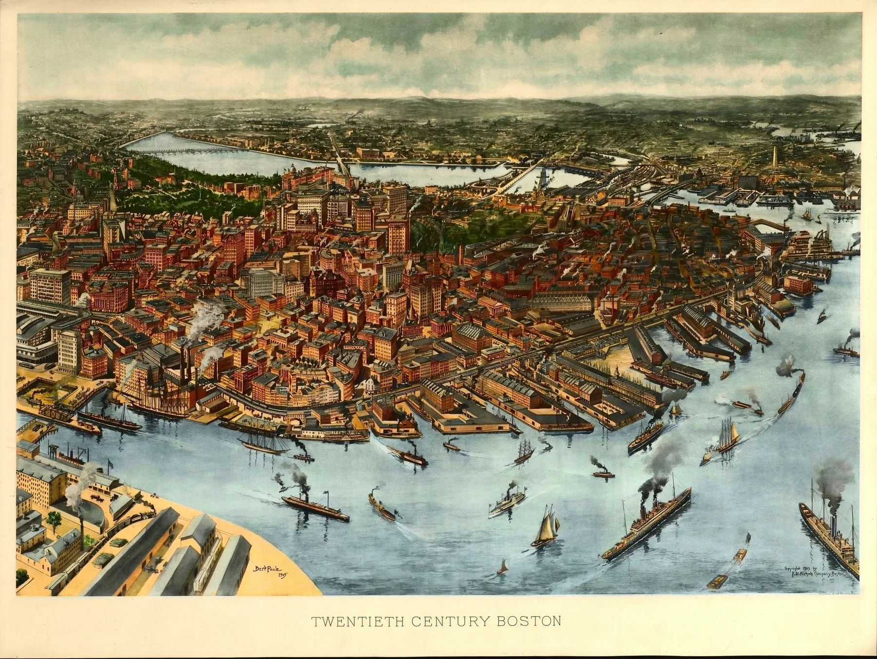
Dates matter because each city drew for a different kind of pressure
A sheet from 1734 has to explain a settlement still claiming ground. A sheet from the 1880s may need to prove that a mining town or lake port has become a city. By 1905, rail terminals, filled land, and public infrastructure crowd into the view because the pace of urban life had changed.
The era pages keep those pressures together. They let you compare maps made under colonial planning, boomtown speculation, harbor expansion, or Progressive Era confidence without flattening them into one general category of old maps.
Colonial
Explore 1 published city page from the Colonial.
EraGilded Age
Explore 3 published city pages from the Gilded Age.
EraProgressive Era
Explore 2 published city pages from the Progressive Era.
EraReconstruction Era
Explore 1 published city page from the Reconstruction Era.
EraSilver Boom
Explore 1 published city page from the Silver Boom.