Historic map guides
These guides answer the questions that sit just outside a single city page. They cover the format, the archive, the print decisions, and the process that puts these maps on the wall.
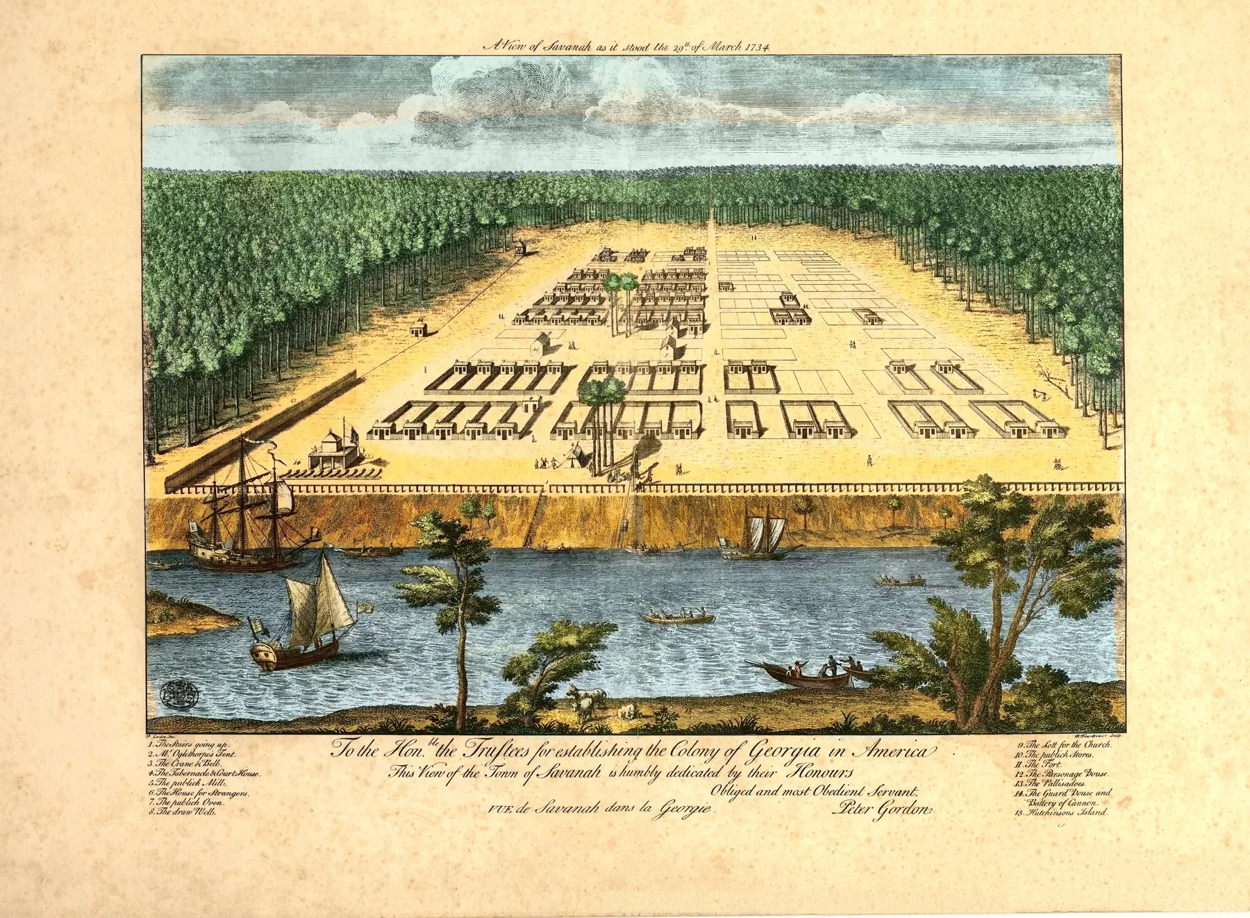
How Panoramic Maps Were Made
How artists built panoramic city views from street-level observation, then turned them into lithographs before flight existed.
GuideHow We Restore Library of Congress Maps
How Meridian Prospect takes a Library of Congress scan and makes it readable on the wall without flattening the sheet itself.
GuideWhat Is a Bird's-Eye View Map?
What a bird's-eye view map is, how it differs from a street map, and what cities wanted these prints to do.
GuideHistoric Map Print Size Guide
How to size a dense panoramic map so the skyline reads from across the room and the details still reward a closer look.
GuideLibrary of Congress Panoramic Maps
Why the Library of Congress panoramic map collection matters, and how it anchors this archive.
GuideHow to Choose a Historic City Map Print
How to choose a city, era, and print format by memory, room, and the kind of map you want to live with.
GuideFine Art Paper vs Poster vs Canvas
How fine art paper, matte poster stock, and canvas change the feel of a historic map on the wall.