How We Restore Library of Congress Maps
How Meridian Prospect takes an archive scan from the Library of Congress and turns it into a readable wall print without flattening the sheet itself.
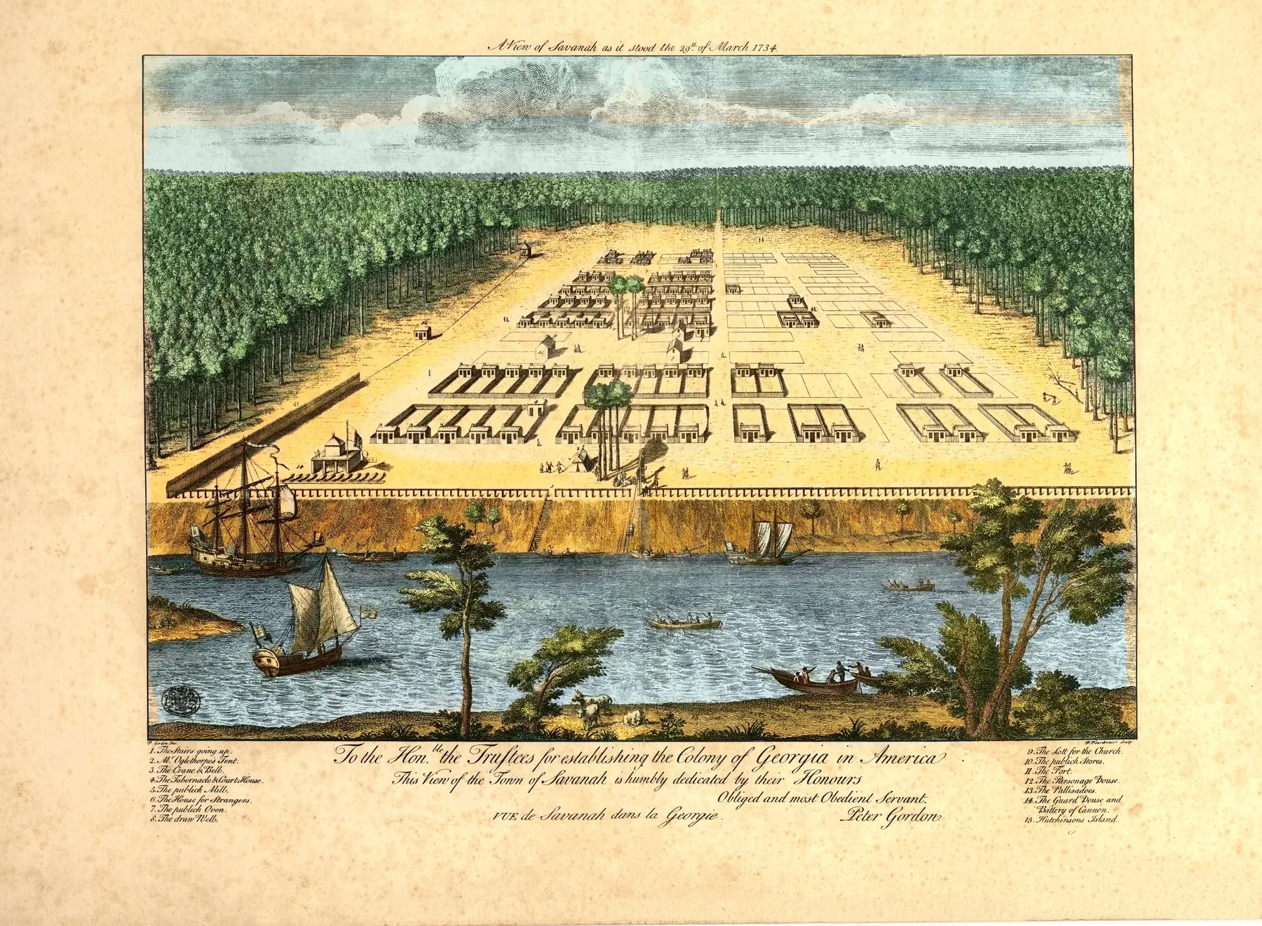
Restoring a Library of Congress map is not the same as repainting it. The first responsibility is to the sheet. An archive scan can carry paper tone, foxing, edge wear, catalogue marks, and the softness that comes from age and reproduction. Some of those traces belong to the object. Some block the city. The work starts with deciding where that line sits.
Meridian Prospect begins from the public-domain scan, not from a cropped derivative or a decorative remake. The first pass is technical: straighten the image, balance tone, remove distractions that come from cataloguing or handling, and recover legibility in labels, rooftops, shorelines, and street grids. The goal is not to make a nineteenth-century print look new. The goal is to let the drawing breathe again.
Density matters. A panoramic map can hold thousands of decisions in one frame: windows, church spires, freight sheds, ferry wakes, telegraph poles, and indexed buildings spread across a city-sized surface. Heavy contrast, oversharpening, or artificial smoothing can make the image louder while destroying the detail that makes these sheets worth keeping.
Color calls for the same restraint. Some prints stay close to the archive state because the surviving sheet already carries enough warmth and character. Others support more intervention. In either case, the question is whether the city becomes more readable without turning the map into something it never was.
The last step is practical. A wall print has to survive scale on fine art paper, matte poster stock, or canvas. If you want to move outward from the process, browse the archive and compare a few cities, or read the guides on size and print format.
Sources and next paths
See the finished pages
Move from the restoration process into the live city pages where that work becomes visible.
GuideChoose a historic city map print
Once the restoration question is clear, the next step is choosing the city, era, and mood that fit the wall.
ThemesBrowse by map type
See how restoration decisions land across harbor cities, industrial sheets, and colonial plans.