Library of Congress Panoramic Maps
How the Library of Congress panoramic map collection anchors this archive and why those sheets still matter.
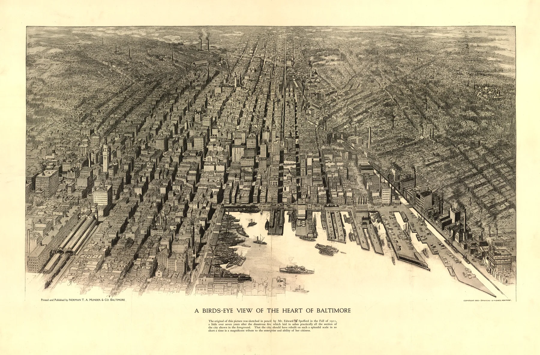
The Library of Congress panoramic map collection holds one of the clearest records of how American cities wanted to be seen from the nineteenth century into the twentieth. These prints do more than mark streets and buildings. They show waterfront labor, industrial smoke, public squares, rail approaches, and the confidence of towns that wanted to look modern and worth attention.
That makes the collection useful for a site like Meridian Prospect. It gives the archive a common backbone across places with very different histories. Savannah in the colonial South, Leadville in the silver boom, Boston in the age of terminals and subway tunnels, and Duluth at the edge of lake shipping can sit together without losing their texture.
Working from the Library of Congress means starting from a public record, not a private derivative. The archive notes, cartographer attributions, and print dates anchor the pages. From there, the job on this site is to restore the image, build a readable zoom view, and write the city note around what the sheet shows.
The collection matters because it preserves cities in transition. Ports expand. Street grids push into former marsh or timber. Industrial districts fill in. Public buildings rise and disappear. A panoramic map often fixes a place at the moment it thought its present shape might hold.
If you want to test that archive logic, move into the live city pages, or follow the collection through historical eras and the artists and firms who kept drawing the views.
Sources and next paths
Browse the live city pages
Move from the collection itself into the maps already published in Meridian Prospect.
ThemesRead by map type
Follow recurring visual families such as harbor cities, industrial centers, and transportation hubs.
StatesBrowse by geography
Use state pages when the place matters more than the cartographer or theme.