What Is a Bird's-Eye View Map?
A guide to how bird's-eye view maps work, what separates them from street maps, and why cities commissioned them.
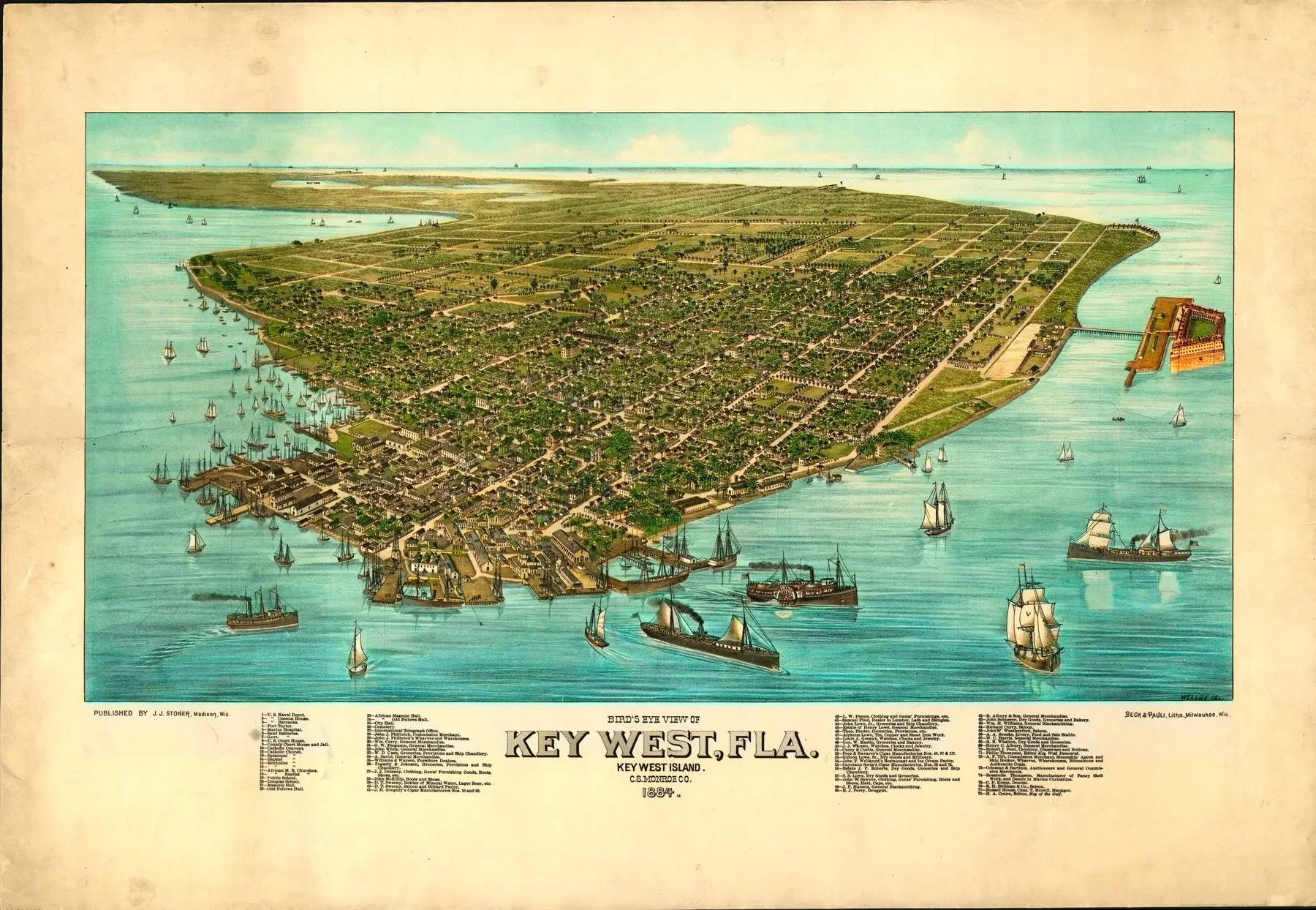
A bird's-eye view map is not a street atlas and not a landscape painting. It is a drawn city seen from an invented height and a slanted angle, so streets, roofs, spires, mills, docks, and rail lines can sit in one field. The point is not inch-by-inch geometry. The point is to make the city readable at a glance and rewarding up close.
These sheets spread in the nineteenth century because they solved two jobs at once. Residents and visitors could understand a fast-growing place, and the city could advertise itself. A harbor full of ships, a main street lined with brick blocks, a courthouse on the hill, or a rail yard at the edge of town all became part of one civic argument.
That is why bird's-eye views feel different from standard maps. A conventional map flattens the ground. A panoramic view restores height, smoke, weather, and skyline. Water becomes a working harbor. Factories become buildings with chimneys. Churches become landmarks someone could pick out from the street.
The format also allowed a measure of theater. Artists could shift the viewpoint enough to clarify the town, widen a riverfront, or give a commercial district more room. That does not make the prints false. It makes them civic documents built to persuade as well as record. They tell you what a city wanted someone to notice.
Meridian Prospect centers those sheets because they preserve more than street names. They preserve civic posture. From here, the next move is to browse the archive or follow the pages by state, era, or cartographer.
Sources and next paths
Browse the full archive
Move from the definition into the live city pages and compare the format in practice.
ThemeHarbor cities
See how bird's-eye views behave when docks, basins, and shipping dominate the composition.
CartographersArtists and firms
Follow the makers behind the views to see how style and composition shift from sheet to sheet.