Historic city maps by state
Move through the archive by place. Each state page gathers the city sheets already published here, so the geography stays in view while the years shift.
Geography changes what the sheet thinks matters
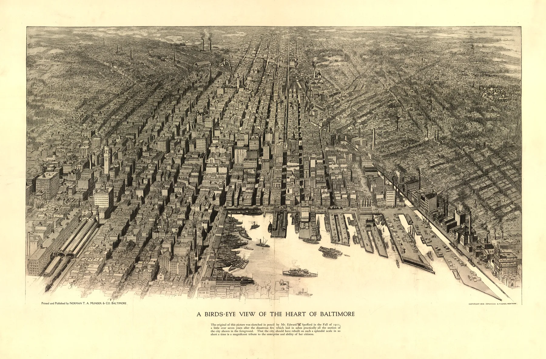
Browse by state and the archive stops reading like a loose run of cities. Maryland keeps the working harbor in front of you. Colorado pulls the eye uphill toward mines and smelters. Georgia begins with a colonial plan cut against a bluff and river.
That regional view matters because it keeps local conditions intact. Waterfront trade, mountain extraction, federal engineering, and street planning each leave different marks on a print. The state pages let those patterns stay visible while the years move around them.
Colorado
Browse 1 published city page from Colorado.
StateFlorida
Browse 1 published city page from Florida.
StateGeorgia
Browse 1 published city page from Georgia.
StateKentucky
Browse 1 published city page from Kentucky.
StateMaryland
Browse 1 published city page from Maryland.
StateMassachusetts
Browse 1 published city page from Massachusetts.
StateMichigan
Browse 1 published city page from Michigan.
StateMinnesota
Browse 1 published city page from Minnesota.