State Archive
Massachusetts historic city maps
Massachusetts sits here as a group of published city pages rather than a loose scatter of maps. Read the state as one field, then move from city to city.
Reading Note
Reading Massachusetts at map scale
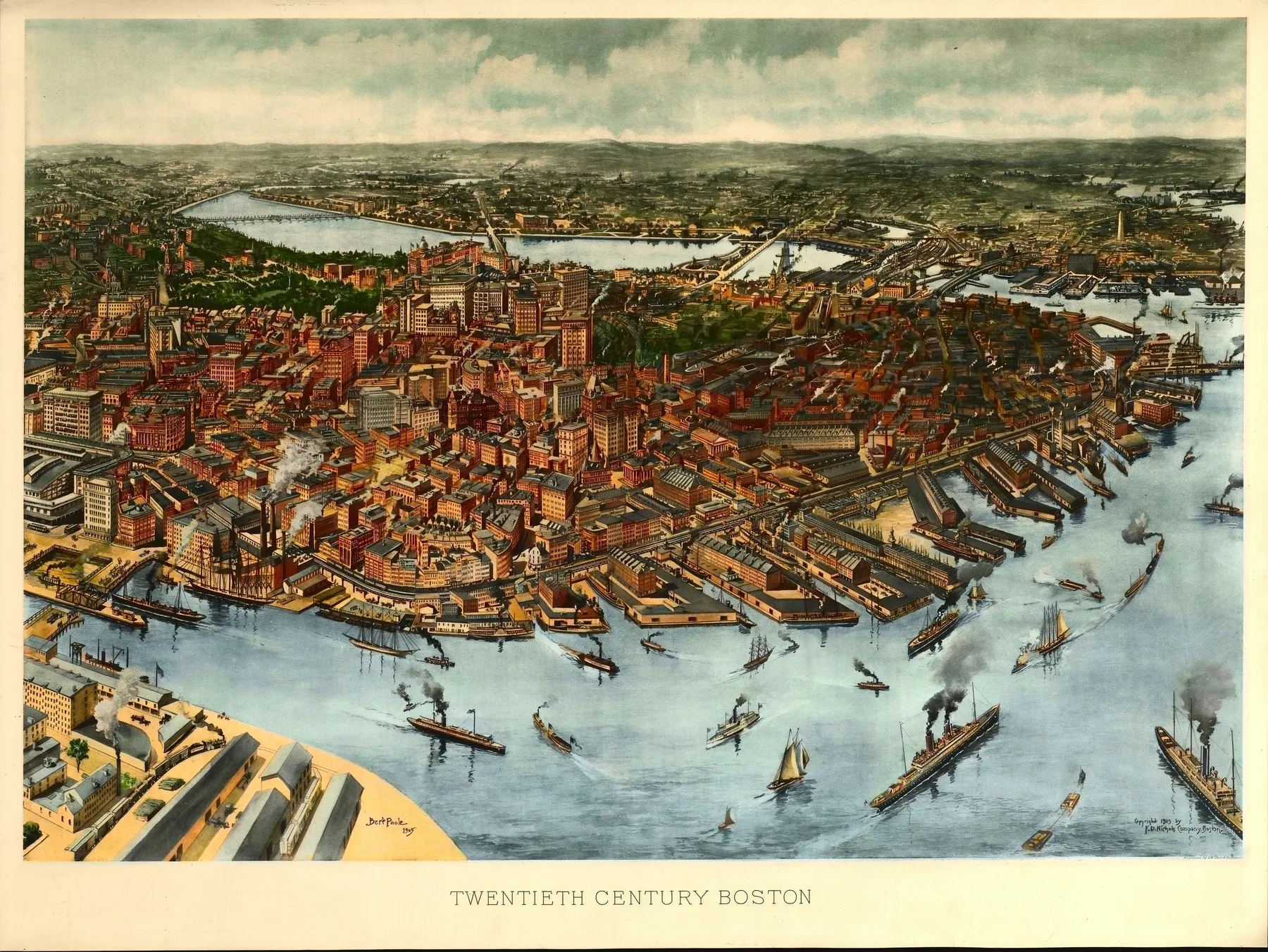
Massachusetts enters the archive through Boston 1905. That keeps the state page close to the sheet itself, with Boston Harbor and inner islands and Charles River and the Back Bay still at the center of the view, and the regional case sharper than a broad state summary would allow.
This page sits in the Progressive Era, so Massachusetts is not abstract geography here. The coastal cities theme carries much of the weight, and the place reads as one printed argument about ground, trade, and civic form.
1 City Page
1905 Year Span
Coastal Cities Primary Theme
