Historic map themes
These theme pages sort the archive by the kind of city the sheet wanted to present. Start with harbors, rivers, industry, or boomtown pressure, then move into the maps.
Themes reveal the repeated structures beneath different cities
When you group the archive by theme, distant places begin to answer each other. A lake port and a Gulf harbor may sit far apart on the map, yet both sheets can give the foreground to slips, basins, and freight movement. A mining town and an industrial city may use different materials and topography, but both want the viewer to see production first.
That is what the theme pages are for. They gather recurring forms such as harbor work, transport infrastructure, boomtown pressure, and industrial edge, then let the city pages do the close reading.
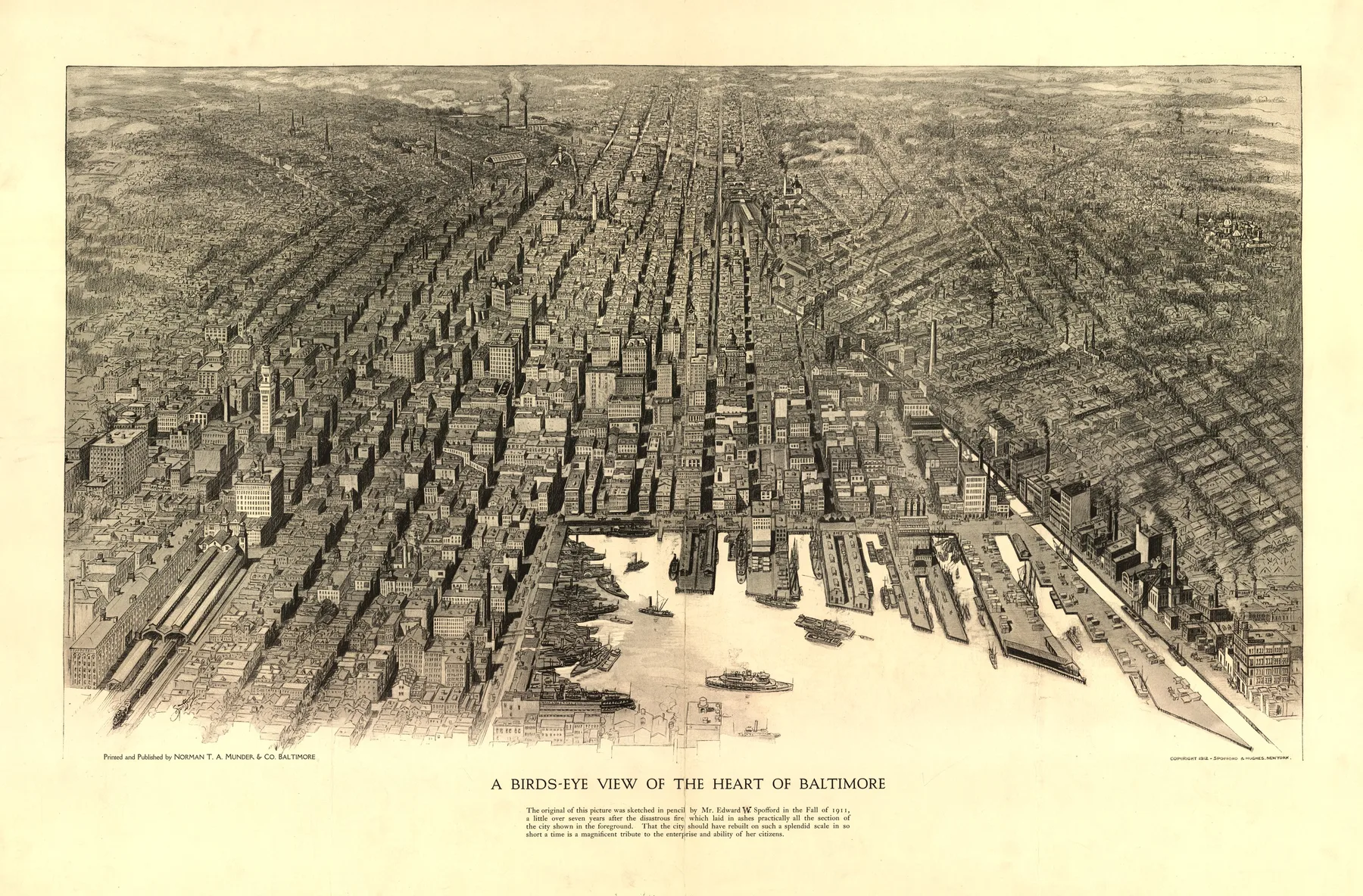
Harbor Cities
Panoramic maps where docks, basins, piers, and working waterfronts dominate the city's self-portrait.
ThemeTransportation Hubs
Maps organized around canal locks, ferry crossings, terminals, rail yards, and the infrastructure that kept people and freight moving.
ThemeIndustrial Cities
City views where furnaces, mills, warehouses, and reduction works shape the image as much as the street grid.
ThemeCoastal Cities
Atlantic and Gulf cities whose fortifications, wharves, and open water still control the composition.
ThemeBoomtowns
Cities drawn while growth outran the ground beneath them, with expansion, speculation, and civic show pressed into one sheet.
ThemeRiver Cities
Cities whose edge, commerce, and street logic were shaped by a river rather than an inland horizon.
ThemeGreat Lakes Cities
Inland port cities where lake shipping, ore, grain, and rail transfer remade the skyline.