Industrial Cities city maps
These city pages collect the maps where production controls the image alongside civic ornament. Smoke, warehouses, factories, furnaces, and reduction works help explain why the streets took the shape they did.
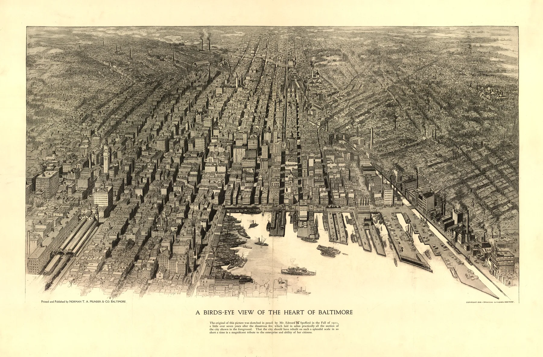
Industrial Cities becomes clearer when distant cities line up
Baltimore 1912, Detroit 1889, and Boston 1905 do not share one shoreline or one state line, yet the same structural problem keeps returning in the sheet. City views where furnaces, mills, warehouses, and reduction works shape the image as much as the street grid.
Across 5 states, 3 eras, and 7 named maker groups, this page shows how one urban form can persist even when the dates, materials, and local economies change.


Colorado
See how this theme appears in the Colorado pages of the archive.
StateMaryland
See how this theme appears in the Maryland pages of the archive.
StateMassachusetts
See how this theme appears in the Massachusetts pages of the archive.
EraGilded Age
See how the industrial cities sheets sit inside the Gilded Age portion of the archive.
EraProgressive Era
See how the industrial cities sheets sit inside the Progressive Era portion of the archive.
EraSilver Boom
See how the industrial cities sheets sit inside the Silver Boom portion of the archive.